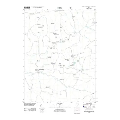
2011 Map of South Bloomingville
USGS Topo · Published 2011About this map
South Bloomingville and Gibisonville anchor this 2011 survey of Hocking County’s deeply eroded plateau, where narrow ridges and steep-walled hollows dictate the layout of community life. The landscape is dotted with ancestral landmarks, from the Old Baptist Cemetery in the north to the Ebenezer Cemetery near Hue in the southeast. This geography of isolated drainages is reflected in the numerous family-named landmarks like Kreachbaum Ridge and Barringer Ridge, alongside curiously named spots such as Gold Mine Hollow and Parish Rocks.
Find a feature on this map
122 named features on this map. Tap any name to fly to it.
Don’t see what you’re looking for? This feature index may not catch every label — zoom into the map to look around manually.
Map Details
Editions of this 2011 South Bloomingville Map
This is the sole edition of this map. No revisions or reprints were ever made.
Other maps of this area

1904 · Zaleski
USGS Topo · 1:62,500

1907 · Zaleski
USGS Topo · 1:62,500

1907 · Logan
USGS Topo · 1:62,500

1907 · Lancaster
USGS Topo · 1:62,500

1909 · Lancaster
USGS Topo · 1:62,500

1909 · Logan
USGS Topo · 1:62,500

1910 · Laurelville
USGS Topo · 1:62,500

1912 · Laurelville
USGS Topo · 1:62,500

1944 · Laurelville
USGS Topo · 1:62,500

1947 · Columbus
USGS Topo · 1:250,000