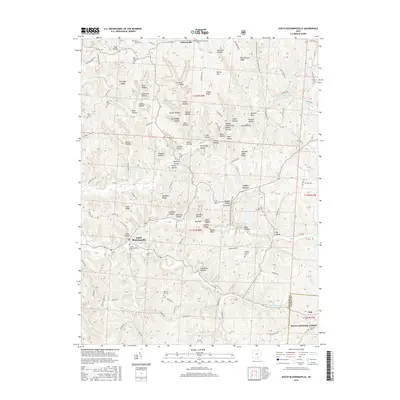
2016 Map of South Bloomingville
USGS Topo · Published 2016About this map
Gibisonville and South Bloomingville anchor this 2016 survey of the Hocking County landscape, where deep-cut drainages like Toad Hollow and Early Hollow define the terrain. The map serves as a vital record for genealogists, documenting numerous local burial grounds including the Methodist Episcopal Cem and the Old Baptist Cem. The drainage patterns of Queer Cr and Pine Cr cut through high ridges such as Keck Ridge and Barringer Ridge, creating a labyrinth of narrow valleys.
Find a feature on this map
109 named features on this map. Tap any name to fly to it.
Don’t see what you’re looking for? This feature index may not catch every label — zoom into the map to look around manually.
Map Details
Editions of this 2016 South Bloomingville Map
This is the sole edition of this map. No revisions or reprints were ever made.
Other maps of this area

1904 · Zaleski
USGS Topo · 1:62,500

1907 · Zaleski
USGS Topo · 1:62,500

1907 · Logan
USGS Topo · 1:62,500

1907 · Lancaster
USGS Topo · 1:62,500

1909 · Lancaster
USGS Topo · 1:62,500

1909 · Logan
USGS Topo · 1:62,500

1910 · Laurelville
USGS Topo · 1:62,500

1912 · Laurelville
USGS Topo · 1:62,500

1944 · Laurelville
USGS Topo · 1:62,500

1947 · Columbus
USGS Topo · 1:250,000