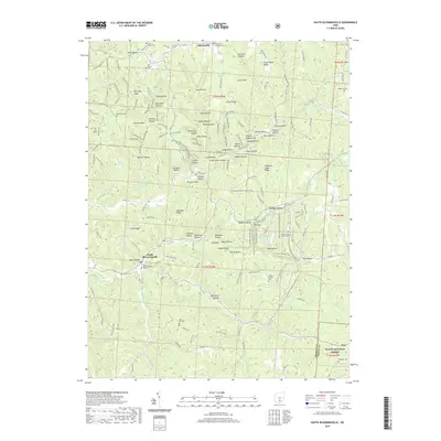
2019 Map of South Bloomingville
USGS Topo · Published 2019About this map
Gibisonville and South Bloomingville anchor this detailed study of the Hocking County landscape, where deep hollows and high ridges dictate the pattern of settlement. The map reveals a dense network of country burial grounds, including the Old Baptist Cem, Saint John the Baptist Cem, and Liberty Hill Cem, which offer significant value for genealogical research in this part of Ohio.
Find a feature on this map
140 named features on this map. Tap any name to fly to it.
Don’t see what you’re looking for? This feature index may not catch every label — zoom into the map to look around manually.
Map Details
Editions of this 2019 South Bloomingville Map
This is the sole edition of this map. No revisions or reprints were ever made.
Other maps of this area

1904 · Zaleski
USGS Topo · 1:62,500

1907 · Zaleski
USGS Topo · 1:62,500

1907 · Logan
USGS Topo · 1:62,500

1907 · Lancaster
USGS Topo · 1:62,500

1909 · Lancaster
USGS Topo · 1:62,500

1909 · Logan
USGS Topo · 1:62,500

1910 · Laurelville
USGS Topo · 1:62,500

1912 · Laurelville
USGS Topo · 1:62,500

1944 · Laurelville
USGS Topo · 1:62,500

1947 · Columbus
USGS Topo · 1:250,000