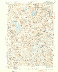
1944 Map of South Groveland
USGS Topo · Published 1944About this map
The Merrimack River flows along the northwestern corner of this 1942 survey, where the Boston and Maine Railroad services industrial and residential pockets like Ward Hill and South Groveland. This portion of Essex County is defined by a dense network of kettle ponds and prominent glacial hills, most notably the large expanse of Lake Cochichewick which dominates the landscape near North Andover. The map captures a mix of established town centers and rural institutional grounds, including the Brooks School and the Lawrence Municipal Airport near the border of Methuen.
Find a feature on this map
68 named features on this map. Tap any name to fly to it.
Don’t see what you’re looking for? This feature index may not catch every label — zoom into the map to look around manually.
Map Details
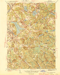
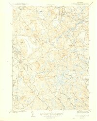
Editions of this 1944 South Groveland Map
3 editions found
Other maps of this area

1886 · Lawrence
USGS Topo · 1:62,500

1888 · Newburyport
USGS Topo · 1:62,500

1888 · Haverhill
USGS Topo · 1:62,500

1888 · Lawrence
USGS Topo · 1:62,500

1888 · Salem
USGS Topo · 1:62,500

1890 · Haverhill
USGS Topo · 1:62,500

1890 · Newburyport
USGS Topo · 1:62,500

1893 · Salem
USGS Topo · 1:62,500

1893 · Lawrence
USGS Topo · 1:62,500

1893 · Haverhill
USGS Topo · 1:62,500