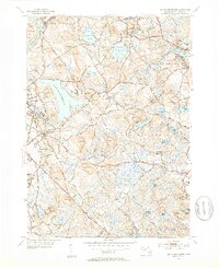
1952 Map of South Groveland
USGS Topo · Published 1953About this map
North Andover and its surroundings in the early 1950s show a landscape transitioning from rural holdings to established institutional campuses. At the heart of the region, Lake Cochichewick dominates the terrain, flanked by the Brooks Sch and the developing grounds of Merrimack College to the southwest. The presence of the Lawrence Municipal Airport in the northwest corner highlights the area's mid-century modernization, while the industrial heritage remains evident along the Merrimack River and the Boston and Maine RR tracks near Ward Hill.
Find a feature on this map
105 named features on this map. Tap any name to fly to it.
Don’t see what you’re looking for? This feature index may not catch every label — zoom into the map to look around manually.
Map Details
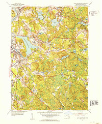
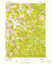
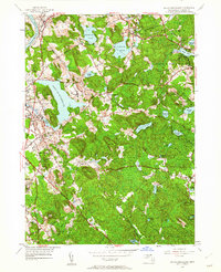
Editions of this 1952 South Groveland Map
4 editions found
Other maps of this area

1886 · Lawrence
USGS Topo · 1:62,500

1888 · Newburyport
USGS Topo · 1:62,500

1888 · Haverhill
USGS Topo · 1:62,500

1888 · Lawrence
USGS Topo · 1:62,500

1888 · Salem
USGS Topo · 1:62,500

1890 · Haverhill
USGS Topo · 1:62,500

1890 · Newburyport
USGS Topo · 1:62,500

1893 · Salem
USGS Topo · 1:62,500

1893 · Lawrence
USGS Topo · 1:62,500

1893 · Haverhill
USGS Topo · 1:62,500