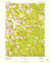
1952 Map of South Groveland
USGS Topo · Published 1958About this map
Lake Cochichewick dominates the glacial topography of this Essex County landscape, serving as a focal point for the surrounding towns of North Andover and Boxford. The mid-century character of the region is defined by a dense network of country roads like Washington St and Ipswich Rd, connecting historic village centers and academic institutions. To the west, Merrimack College and the Brooks Sch appear as established landmarks, while the Lawrence Municipal Airport marks the shift toward modern infrastructure near the Merrimack River.
Find a feature on this map
69 named features on this map. Tap any name to fly to it.
Don’t see what you’re looking for? This feature index may not catch every label — zoom into the map to look around manually.
Map Details
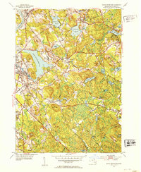
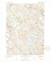
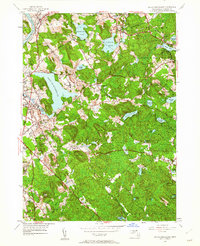
Editions of this 1952 South Groveland Map
4 editions found
Other maps of this area

1886 · Lawrence
USGS Topo · 1:62,500

1888 · Newburyport
USGS Topo · 1:62,500

1888 · Haverhill
USGS Topo · 1:62,500

1888 · Lawrence
USGS Topo · 1:62,500

1888 · Salem
USGS Topo · 1:62,500

1890 · Haverhill
USGS Topo · 1:62,500

1890 · Newburyport
USGS Topo · 1:62,500

1893 · Salem
USGS Topo · 1:62,500

1893 · Lawrence
USGS Topo · 1:62,500

1893 · Haverhill
USGS Topo · 1:62,500