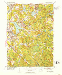
1952 Map of South Groveland
USGS Topo · Published 1953About this map
Lake Cochichewick dominates the western landscape of this 1950s survey, surrounded by the growing residential and institutional centers of North Andover. To the south of the lake, the campus of Merrimack College and Ridgewood Cem sit near the edge of the rising terrain of Boston Hill. The map illustrates a transitional period in Essex County, where traditional industrial and agricultural markers like Clay Pit Hill and the Boston and Maine RR corridors in Ward Hill coexist with early suburban expansion. Further east, the character shifts toward more wooded, water-rich terrain in Boxford, marked by numerous smaller bodies of water such as Stiles Pond and Johnsons Pond. This topographical record captures the area before modern highway development significantly altered the local road network, including historic routes like Old Ferry Rd and Washington St.
Find a feature on this map
81 named features on this map. Tap any name to fly to it.
Don’t see what you’re looking for? This feature index may not catch every label — zoom into the map to look around manually.
Map Details
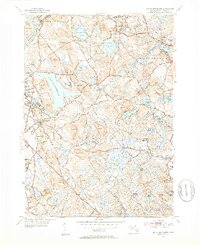
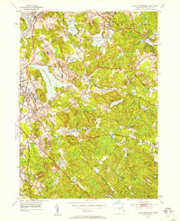
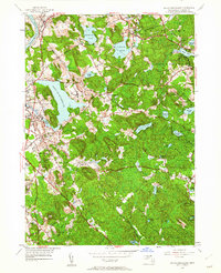
Editions of this 1952 South Groveland Map
4 editions found
Other maps of this area

1886 · Lawrence
USGS Topo · 1:62,500

1888 · Newburyport
USGS Topo · 1:62,500

1888 · Haverhill
USGS Topo · 1:62,500

1888 · Lawrence
USGS Topo · 1:62,500

1888 · Salem
USGS Topo · 1:62,500

1890 · Haverhill
USGS Topo · 1:62,500

1890 · Newburyport
USGS Topo · 1:62,500

1893 · Salem
USGS Topo · 1:62,500

1893 · Lawrence
USGS Topo · 1:62,500

1893 · Haverhill
USGS Topo · 1:62,500