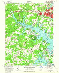
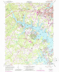
1957 Map of South River
USGS Topo · Published 1964About this map
The deep estuaries of the South River and Rhode River define this mid-century landscape south of Annapolis. At this time, the region is characterized by a mix of established residential developments and maritime activity along the finger-like inlets of Beards Creek, Glebe Creek, and Sellman Creek. The expansion of Parole and the presence of Lee Airport signal the post-war growth of the Maryland capital's suburbs. Local history and genealogy interest is rooted in sites such as All Hallows Ch, Hopes Chapel Cem, and family-named landmarks like Lusby Crossroads and Stewart Corner. Further south, the map details the riverfront culture of the era at Gingerville and Edgewater Beach, while the Rhode River shoreline features traditional maritime points of access like Contees Wharf and Murray Wharf. This survey captures the transition from rural Anne Arundel County toward a more integrated suburban and recreational waterfront community.
Find a feature on this map
137 named features on this map. Tap any name to fly to it.
Don’t see what you’re looking for? This feature index may not catch every label — zoom into the map to look around manually.
Map Details
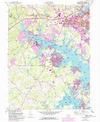
Editions of this 1957 South River Map
6 editions found
Other maps of this area

1892 · Owensville
USGS Topo · 1:62,500

1892 · Annapolis
USGS Topo · 1:62,500

1893 · North Point
USGS Topo · 1:62,500

1894 · Relay
USGS Topo · 1:62,500

1895 · Owensville
USGS Topo · 1:62,500

1898 · Choptank
USGS Topo · 1:125,000

1898 · Tolchester
USGS Topo · 1:125,000

1899 · Patuxent
USGS Topo · 1:125,000

1903 · Tolchester
USGS Topo · 1:125,000

1904 · North Point
USGS Topo · 1:62,500