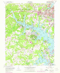
1957 Map of South River
USGS Topo · Published 1978About this map
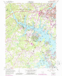
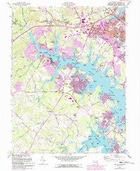
Annapolis serves as the focal point of this coastal landscape, situated where Weems Creek, College Creek, and Spa Creek meet the surrounding waterways. The mid-century development of the Maryland capital is evident in neighborhoods like Germantown, Parole, and Admiral Heights, while the suburban expansion reaches south toward Edgewater and the peninsula communities of Sylvan Shores and Woodland Beach. This 1957 survey, with revisions through the late 1970s, captures a transitional period for Anne Arundel County, showing the proximity of the Maryland Lee Airport to the growing residential tracts.
Find a feature on this map
160 named features on this map. Tap any name to fly to it.
Don’t see what you’re looking for? This feature index may not catch every label — zoom into the map to look around manually.
Map Details
Editions of this 1957 South River Map
6 editions found
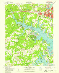
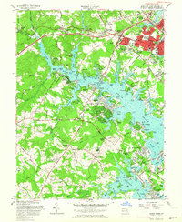
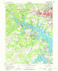
Other maps of this area

1892 · Owensville
USGS Topo · 1:62,500

1892 · Annapolis
USGS Topo · 1:62,500

1893 · North Point
USGS Topo · 1:62,500

1894 · Relay
USGS Topo · 1:62,500

1895 · Owensville
USGS Topo · 1:62,500

1898 · Choptank
USGS Topo · 1:125,000

1898 · Tolchester
USGS Topo · 1:125,000

1899 · Patuxent
USGS Topo · 1:125,000

1903 · Tolchester
USGS Topo · 1:125,000

1904 · North Point
USGS Topo · 1:62,500