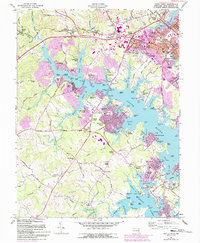
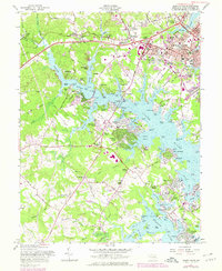
1957 Map of South River
USGS Topo · Published 1993About this map
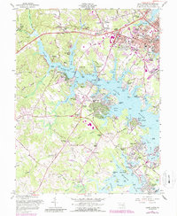
Annapolis and its waterfront neighborhoods dominate this mid-century survey, revealing a landscape defined by the deep inlets of the South River, Rhode River, and Weems Creek. Suburban expansion is evident in developments like Admiral Heights and Woodland Beach, yet the map preserves older rural anchors such as All Hallows Ch and Hopes Chapel. The transition from maritime industry to residential leisure is visible in the numerous wharves like Contees Wharf and Murray Wharf appearing alongside recreational areas and a large Golf Course. Key infrastructure, including the Armory, Radio Towers (WNAV), and multiple high schools like Bates High Sch, highlights the area's role as a regional hub. Southward, the geography remains more pastoral near Mill Swamp and Birdsville, where old road networks like Solomons Island Road connect historic crossroads and family cemeteries.
Find a feature on this map
174 named features on this map. Tap any name to fly to it.
Don’t see what you’re looking for? This feature index may not catch every label — zoom into the map to look around manually.
Map Details
Editions of this 1957 South River Map
6 editions found
Other maps of this area

1892 · Owensville
USGS Topo · 1:62,500

1892 · Annapolis
USGS Topo · 1:62,500

1893 · North Point
USGS Topo · 1:62,500

1894 · Relay
USGS Topo · 1:62,500

1895 · Owensville
USGS Topo · 1:62,500

1898 · Choptank
USGS Topo · 1:125,000

1898 · Tolchester
USGS Topo · 1:125,000

1899 · Patuxent
USGS Topo · 1:125,000

1903 · Tolchester
USGS Topo · 1:125,000

1904 · North Point
USGS Topo · 1:62,500