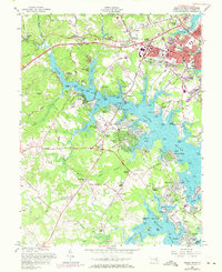
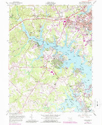
1957 Map of South River
USGS Topo · Published 1971About this map
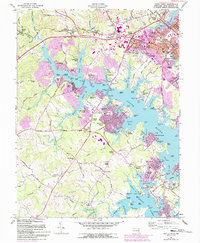
The tidal landscape of the South River and its labyrinthine creeks dominates this mid-century survey, capturing a period of significant suburban expansion around Annapolis. While the historic state capital occupies the northeastern corner, the map details the burgeoning residential developments of Parole, Admiral Heights, and Edgewater. The transition from agrarian roots to a coastal leisure and commuter economy is evident in the numerous beach communities such as Sylvan Shores, Pine Whiff Beach, and Wild Rose Shores. Inland, the agricultural past remains visible through landmarks like All Hallows Ch and Hopes Chapel.
Find a feature on this map
132 named features on this map. Tap any name to fly to it.
Don’t see what you’re looking for? This feature index may not catch every label — zoom into the map to look around manually.
Map Details
Editions of this 1957 South River Map
6 editions found
Other maps of this area

1892 · Owensville
USGS Topo · 1:62,500

1892 · Annapolis
USGS Topo · 1:62,500

1893 · North Point
USGS Topo · 1:62,500

1894 · Relay
USGS Topo · 1:62,500

1895 · Owensville
USGS Topo · 1:62,500

1898 · Choptank
USGS Topo · 1:125,000

1898 · Tolchester
USGS Topo · 1:125,000

1899 · Patuxent
USGS Topo · 1:125,000

1903 · Tolchester
USGS Topo · 1:125,000

1904 · North Point
USGS Topo · 1:62,500