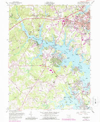
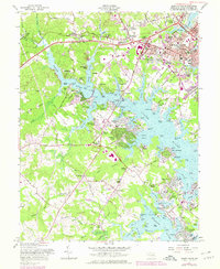
1957 Map of South River
USGS Topo · Published 1987About this map
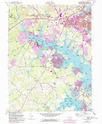
Annapolis and its surrounding water-bound suburbs are the focus of this mid-century topographic survey, showing a landscape defined by the deep inlets of the South River and Rhode River. The era's development is evident in the transition from established communities like Parole and Germantown to the newer shoreline residential areas such as Woodland Beach and Sylvan Shores. This period captures the post-war expansion along the Solomons Island Road and Central Avenue corridors, where traditional rural landmarks like All Hallows Ch and Lusby Crossroads met new suburban growth. The interior reaches of Bacon Ridge Branch and Mill Swamp provide a sharp contrast to the bustling activity at the Water Works and the academic campuses of Bates High Sch and the neighboring junior high schools. Family-named points and coves like Beards Point and Selby Bay indicate a longstanding connection between the local populace and the Chesapeake’s navigable waters.
Find a feature on this map
136 named features on this map. Tap any name to fly to it.
Don’t see what you’re looking for? This feature index may not catch every label — zoom into the map to look around manually.
Map Details
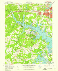
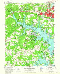
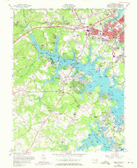
Editions of this 1957 South River Map
6 editions found
Other maps of this area

1892 · Owensville
USGS Topo · 1:62,500

1892 · Annapolis
USGS Topo · 1:62,500

1893 · North Point
USGS Topo · 1:62,500

1894 · Relay
USGS Topo · 1:62,500

1895 · Owensville
USGS Topo · 1:62,500

1898 · Choptank
USGS Topo · 1:125,000

1898 · Tolchester
USGS Topo · 1:125,000

1899 · Patuxent
USGS Topo · 1:125,000

1903 · Tolchester
USGS Topo · 1:125,000

1904 · North Point
USGS Topo · 1:62,500