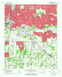
1965 Map of Southeast Memphis
USGS Topo · Published 1967About this map
Memphis State University and Siena College anchor the educational landscape of this mid-1960s suburban expansion in Shelby County. The map documents a period of significant postwar growth, characterized by dense residential development in Parkway Village and the industrial activity surrounding the Defense Depot Memphis and the Tennessee Yards. This era is defined by the transition from rural land to structured municipal infrastructure, notably seen in the expanding footprint of the Memphis Municipal Airport. Beyond the urban core, the landscape retains its hydrological character with Nonconnah Creek and Hurricane Creek winding through the terrain. Smaller communities like Oakville and Capleville remain distinct, while numerous neighborhood institutions such as White Station High Sch and St Annes Sch illustrate the burgeoning civic life of the era.
Find a feature on this map
68 named features on this map. Tap any name to fly to it.
Don’t see what you’re looking for? This feature index may not catch every label — zoom into the map to look around manually.
Map Details
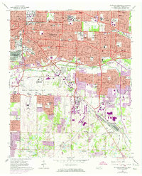
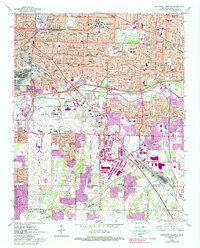
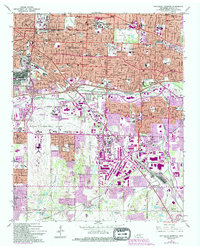
Editions of this 1965 Southeast Memphis Map
4 editions found
Other maps of this area

1916 · Memphis
USGS Topo · 1:62,500

1925 · Memphis
USGS Topo · 1:48,000

1927 · Memphis
USGS Topo · 1:62,500

1932 · Horn Lake
USGS Topo · 1:48,000

1935 · Horn Lake
USGS Topo · 1:62,500

1939 · Memphis
USGS Topo · 1:62,500

1944 · Hernando
USGS Topo · 1:62,500

1948 · Helena
USGS Topo · 1:250,000

1950 · Helena
USGS Topo · 1:250,000

1953 · Memphis
USGS Topo · 1:250,000