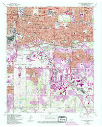
1965 Map of Southeast Memphis
USGS Topo · Published 1994About this map
The urban and industrial landscape of southeast Memphis reflects a period of significant mid-century expansion, anchored by the massive footprint of the Memphis International Airport and the Tennessee Air National Guard. The map captures the city's growth along major transportation corridors, featuring a series of modern interchanges along Nonconnah Creek and the extensive rail infrastructure of the Tennessee Yards near Capleville. This era is marked by the presence of prominent institutions like Memphis State University and several regional medical centers, including the VA Hosp and Oakville Memorial Hospital.
Find a feature on this map
64 named features on this map. Tap any name to fly to it.
Don’t see what you’re looking for? This feature index may not catch every label — zoom into the map to look around manually.
Map Details
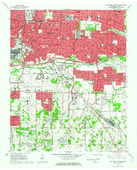
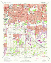
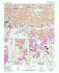
Editions of this 1965 Southeast Memphis Map
4 editions found
Other maps of this area

1916 · Memphis
USGS Topo · 1:62,500

1925 · Memphis
USGS Topo · 1:48,000

1927 · Memphis
USGS Topo · 1:62,500

1932 · Horn Lake
USGS Topo · 1:48,000

1935 · Horn Lake
USGS Topo · 1:62,500

1939 · Memphis
USGS Topo · 1:62,500

1944 · Hernando
USGS Topo · 1:62,500

1948 · Helena
USGS Topo · 1:250,000

1950 · Helena
USGS Topo · 1:250,000

1953 · Memphis
USGS Topo · 1:250,000