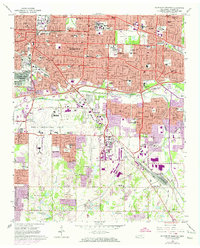
1965 Map of Southeast Memphis
USGS Topo · Published 1974About this map
Memphis sprawls eastward during the mid-1960s, showing the rapid conversion of rural Shelby County into a modern urban grid. Education and healthcare institutions serve as major anchors, from Memphis State University and Siena College to the expansive Kennedy VA Hospital. The industrial and logistics footprint is equally significant, characterized by the Defense Depot Memphis and the massive rail infrastructure of Tennessee Yards and Forrest Yards.
Find a feature on this map
107 named features on this map. Tap any name to fly to it.
Don’t see what you’re looking for? This feature index may not catch every label — zoom into the map to look around manually.
Map Details
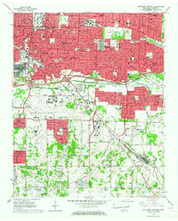
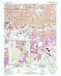
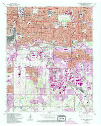
Editions of this 1965 Southeast Memphis Map
4 editions found
Other maps of this area

1916 · Memphis
USGS Topo · 1:62,500

1925 · Memphis
USGS Topo · 1:48,000

1927 · Memphis
USGS Topo · 1:62,500

1932 · Horn Lake
USGS Topo · 1:48,000

1935 · Horn Lake
USGS Topo · 1:62,500

1939 · Memphis
USGS Topo · 1:62,500

1944 · Hernando
USGS Topo · 1:62,500

1948 · Helena
USGS Topo · 1:250,000

1950 · Helena
USGS Topo · 1:250,000

1953 · Memphis
USGS Topo · 1:250,000