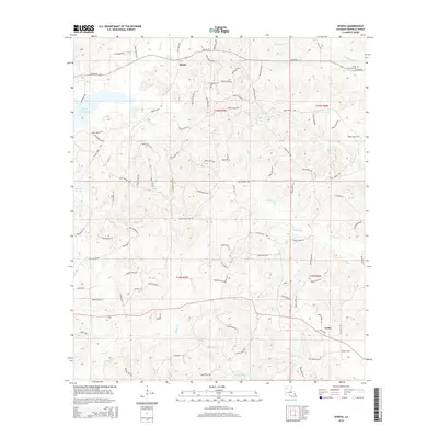
2015 Map of Sparta
USGS Topo · Published 2015About this map
Sparta and the surrounding pine-clad uplands of Bienville Parish are defined by a complex network of parish roads and winding creek bottoms. This landscape in the mid-2010s shows a pattern of rural settlements and family landholdings, where old thoroughfares like Old Sparta Rd and Kepler Rd connect scattered residences. The terrain is deeply etched by water, with Sixmile Creek and Castor Creek draining the central sections, while Kepler Creek Lake sits to the northwest. The presence of Camp Ground Cemetery near the confluence of Edwards Mill Creek suggests long-standing community roots. To the southeast, the settlement of Lucky serves as a local hub near Blooms Mill Creek. The dense labeling of numerous parish roads, such as Parish Road 672 and Parish Road 686, reveals the high degree of accessibility into the timbered interior between these various drainages.
Find a feature on this map
87 named features on this map. Tap any name to fly to it.
Don’t see what you’re looking for? This feature index may not catch every label — zoom into the map to look around manually.
Map Details
Editions of this 2015 Sparta Map
This is the sole edition of this map. No revisions or reprints were ever made.
Other maps of this area

1947 · Goldonna
USGS Topo · 1:62,500

1947 · Ashland
USGS Topo · 1:62,500

1947 · Bienville
USGS Topo · 1:62,500

1948 · Jamestown
USGS Topo · 1:62,500

1949 · Jamestown
USGS Topo · 1:62,500

1949 · Bienville
USGS Topo · 1:62,500

1955 · Shreveport
USGS Topo · 1:250,000

1956 · Shreveport
USGS Topo · 1:250,000

1957 · Goldonna
USGS Topo · 1:62,500

1957 · Ashland
USGS Topo · 1:62,500