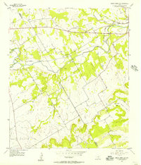
1956 Map of Spring Creek Gap
USGS Topo · Published 1957About this map
The Missouri Kansas Texas railroad cuts across the northern landscape of Bosque and Hamilton counties, following the course of the Bosque River through a region of limestone bluffs and creek valleys. This mid-century survey documents the rural character of Iredell, a small settlement near the junction of Duffau Creek and the river. The map provides significant detail for genealogists, marking family-named sites like Stanley Graves and several rural burial grounds including Barbee Cem and Proffitt Cem.
Find a feature on this map
19 named features on this map. Tap any name to fly to it.
Don’t see what you’re looking for? This feature index may not catch every label — zoom into the map to look around manually.
Map Details
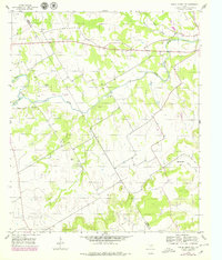
Editions of this 1956 Spring Creek Gap Map
2 editions found
Other maps of this area

1888 · Hamilton
USGS Topo · 1:125,000

1888 · Meridian
USGS Topo · 1:125,000

1889 · Granbury
USGS Topo · 1:125,000

1890 · Stephenville
USGS Topo · 1:125,000

1894 · Hamilton
USGS Topo · 1:125,000

1894 · Meridian
USGS Topo · 1:125,000

1920 · Stephenville
USGS Topo · 1:125,000

1954 · Brownwood
USGS Topo · 1:250,000

1954 · Dallas
USGS Topo · 1:250,000

1954 · Waco
USGS Topo · 1:250,000