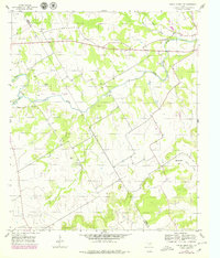
1956 Map of Spring Creek Gap
USGS Topo · Published 1979About this map
The North Bosque River defines the drainage pattern of this Central Texas landscape along the border of Bosque and Hamilton counties. In the mid-1950s, the area remained largely rural, characterized by small family-named sites such as Stanley Graves and several local burial grounds including Barbee Cem and Proffitt Cem. A significant historical remnant is the Old Railroad Grade that cuts across the western portion of the sheet, indicating a shift in the local transportation network by the time of the original survey. The terrain is marked by significant hydrological features like Duffau Creek and Fall Creek, while the prominent Spring Creek Gap serves as a natural corridor in the eastern section. This 1979 edition preserves 1950s data with later woodland revisions, capturing a moment when gravel extraction near the river was a notable industrial activity.
Find a feature on this map
17 named features on this map. Tap any name to fly to it.
Don’t see what you’re looking for? This feature index may not catch every label — zoom into the map to look around manually.
Map Details
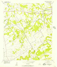
Editions of this 1956 Spring Creek Gap Map
2 editions found
Other maps of this area

1888 · Hamilton
USGS Topo · 1:125,000

1888 · Meridian
USGS Topo · 1:125,000

1889 · Granbury
USGS Topo · 1:125,000

1890 · Stephenville
USGS Topo · 1:125,000

1894 · Hamilton
USGS Topo · 1:125,000

1894 · Meridian
USGS Topo · 1:125,000

1920 · Stephenville
USGS Topo · 1:125,000

1954 · Brownwood
USGS Topo · 1:250,000

1954 · Dallas
USGS Topo · 1:250,000

1954 · Waco
USGS Topo · 1:250,000