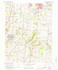
1965 Map of Springboro
USGS Topo · Published 1976About this map
The growing town of Springboro and the southern edge of Centerville define this landscape along the Montgomery Co Warren Co line. By the mid-1960s, the rural character of the region was beginning to shift as suburban expansion, indicated by revisions like Chevy Chase Dr, moved south from Centerville. The area is notably dense with family-historical sites, featuring numerous cemeteries such as Rehoboth Cem, Salem Cem, and the Old School Cem. Transportation infrastructure transitions from the agricultural Pennyroyal Rd to the aviation-oriented Montgomery County Airport. Large portions of the quadrangle remain dominated by the drainage of Clear Creek, while the Penn Central railroad cuts through the eastern sections near Lytle. This survey documents a critical moment when small settlements like Ridgeville, Pekin, and Kenricksville still maintained their distinct identities amidst the encroaching regional development.
Find a feature on this map
72 named features on this map. Tap any name to fly to it.
Don’t see what you’re looking for? This feature index may not catch every label — zoom into the map to look around manually.
Map Details
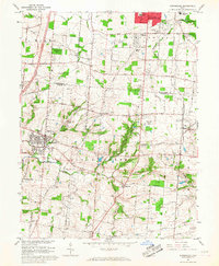
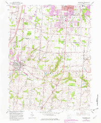
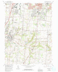
Editions of this 1965 Springboro Map
4 editions found
Other maps of this area

1904 · Mason
USGS Topo · 1:62,500

1906 · Mason
USGS Topo · 1:62,500

1908 · Miamisburg
USGS Topo · 1:62,500

1913 · Waynesville
USGS Topo · 1:62,500

1914 · Morrow
USGS Topo · 1:62,500

1915 · Waynesville
USGS Topo · 1:62,500

1916 · Morrow
USGS Topo · 1:62,500

1951 · Franklin
USGS Topo · 1:24,000

1953 · Cincinnati
USGS Topo · 1:250,000

1955 · Monroe
USGS Topo · 1:24,000