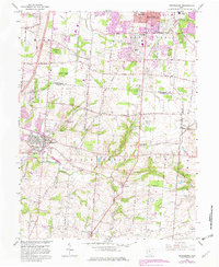
1965 Map of Springboro
USGS Topo · Published 1982About this map
Springboro and its surrounding townships in Clear Creek and Washington serve as a focal point for this 1965 survey, updated in the early 1980s to show suburban growth in purple. The landscape is dotted with several family-named and historical burial grounds, including the Old School Cem, Lytle Cem, and Rehobeth Cem, providing a detailed record for genealogical study. The influence of regional transport is evident in the Penn Central line and the Dayton General South Airport. In the southern portion of the sheet, the terrain transitions into the valleys of Clear Creek and Newman Run, where smaller settlements like Ridgeville and Pekin appear along rural routes such as Utica Road. From the northern reach of Centerville to the small community of Lytle on the eastern boundary, the map documents the shift from agricultural lands to the expanding residential neighborhoods of the late twentieth century.
Find a feature on this map
61 named features on this map. Tap any name to fly to it.
Don’t see what you’re looking for? This feature index may not catch every label — zoom into the map to look around manually.
Map Details
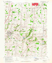
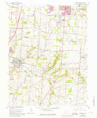
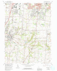
Editions of this 1965 Springboro Map
4 editions found
Other maps of this area

1904 · Mason
USGS Topo · 1:62,500

1906 · Mason
USGS Topo · 1:62,500

1908 · Miamisburg
USGS Topo · 1:62,500

1913 · Waynesville
USGS Topo · 1:62,500

1914 · Morrow
USGS Topo · 1:62,500

1915 · Waynesville
USGS Topo · 1:62,500

1916 · Morrow
USGS Topo · 1:62,500

1951 · Franklin
USGS Topo · 1:24,000

1953 · Cincinnati
USGS Topo · 1:250,000

1955 · Monroe
USGS Topo · 1:24,000