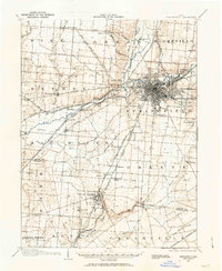
1904 Map of Springfield
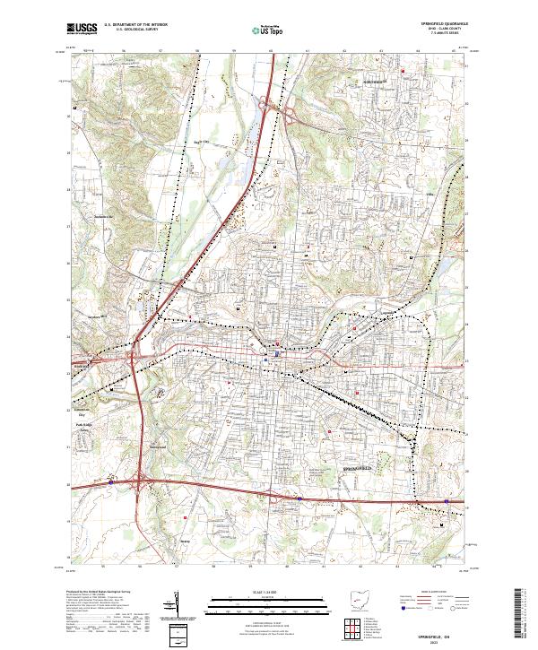
USGS Topo · Published 1963About this map
The city of Springfield serves as a dense industrial and transit hub at the turn of the century, defined by a complex web of conventional and electric rail lines. The Mad River and Buck Creek converge near the city center, which is surrounded by notable institutions including the Masonic Home, I O O F Home, and K P Home. Significant landmarks like Ferncliff Cemetery and the Fairgrounds anchor the urban landscape while the historic National Pike facilitates overland travel to the west through Donnelsville.
Find a feature on this map
73 named features on this map. Tap any name to fly to it.
Don’t see what you’re looking for? This feature index may not catch every label — zoom into the map to look around manually.
Map Details
Editions of this 1904 Springfield Map
2 editions found

Historical Maps of Springfield Through Time
10 maps found
1904 Springfield
Clark County, OH

1906 Springfield
Clark County, OH
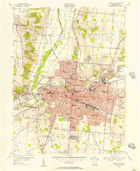
1955 Springfield
Clark County, OH
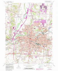
1966 Springfield
Clark County, OH
1986 Springfield
Clark County, OH
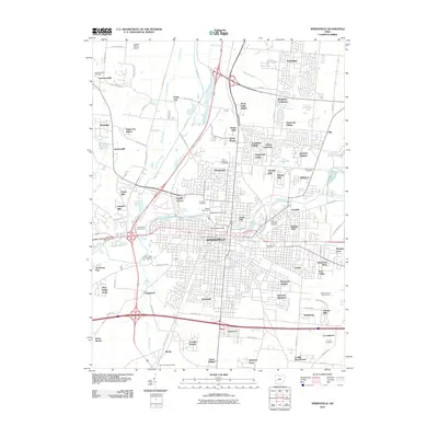
2010 Springfield
Clark County, OH
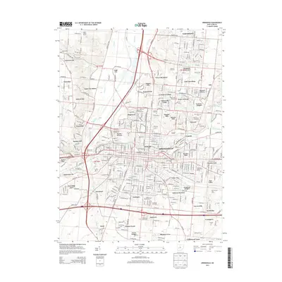
2013 Springfield
Clark County, OH
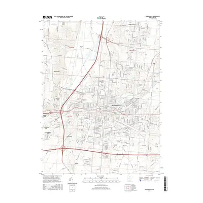
2016 Springfield
Clark County, OH
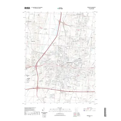
2019 Springfield
Clark County, OH
2023 Springfield
Clark County, OH
Featured Locations
- Fairborn, OH
- Mad River, OH
- Springfield, OH
- Cedarville, Cedarville Township
- Yellow Springs, Miami Township