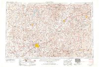
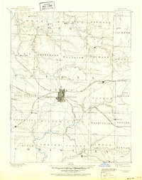
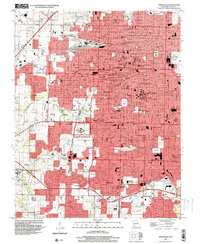
1954 Map of Springfield
USGS Topo · Published 1967About this map
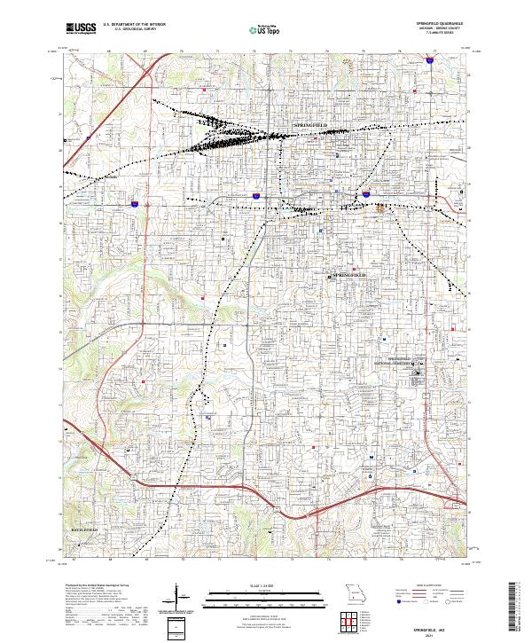
Springfield serves as the central hub of this mid-century portrait of the Missouri Ozarks, a period marked by the expansion of the regional highway system and the establishment of major recreational and military zones. The map details the urban core of Springfield, home to Southwest Missouri State College and Drury College, while radiating outward to smaller trade centers like Bolivar, Lebanon, and Mountain Grove.
Find a feature on this map
207 named features on this map. Tap any name to fly to it.
Don’t see what you’re looking for? This feature index may not catch every label — zoom into the map to look around manually.
Map Details
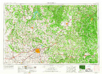
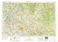
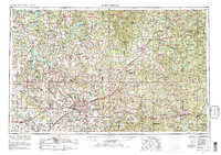
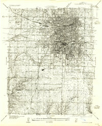
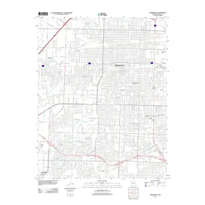
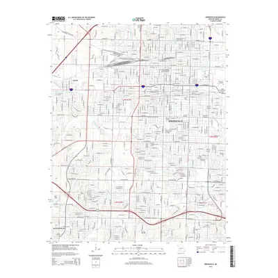
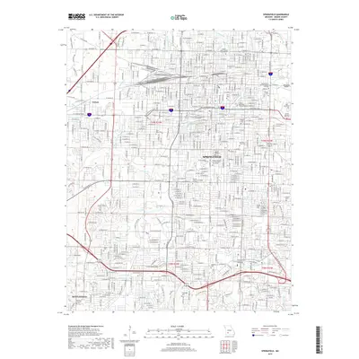
Editions of this 1954 Springfield Map
6 editions found

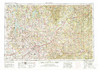
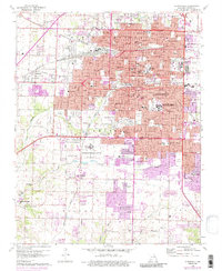
Historical Maps of Springfield Through Time
13 maps found

1884 Springfield
Greene County, MO
1886 Springfield
Greene County, MO
1935 Springfield
Greene County, MO
1954 Springfield
Greene County, MO

1958 Springfield
Greene County, MO

1959 Springfield
Greene County, MO
1960 Springfield
Greene County, MO

1982 Springfield
Greene County, MO
1996 Springfield
Greene County, MO
2011 Springfield
Greene County, MO
2015 Springfield
Greene County, MO
2017 Springfield
Greene County, MO
2021 Springfield
Greene County, MO