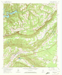
1958 Map of Springville
USGS Topo · Published 1972About this map
Blount Mountain and Ones Mountain dominate the landscape of St. Clair County, Alabama, creating a narrow valley floor where the Southern railroad and Big Canoe Creek dictate the local geography. In the late 1950s, the town of Springville served as a primary hub, while smaller communities like Saint Clair Springs and Pleasant Hills were linked by a network of rural roads and mountain passes such as McClendon Gap. The topography reflects a deeply religious and agricultural community, punctuated by numerous rural landmarks including Jones Chapel, Red Hill Ch, and family burial grounds like Hooper Cem. To the northwest, the Birmingham Reservoir, also known as Inland Lake, carves into the terrain at the Blackburn Fork, signaling the region's importance for water resources. Industrial activity is also evident through several locations marked as Strip Mine and Gravel Pit, showing the extraction of local minerals alongside traditional farming.
Find a feature on this map
37 named features on this map. Tap any name to fly to it.
Don’t see what you’re looking for? This feature index may not catch every label — zoom into the map to look around manually.
Map Details
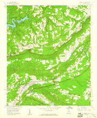
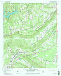
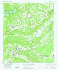
Editions of this 1958 Springville Map
4 editions found
Other maps of this area

1889 · Springville
USGS Topo · 1:125,000

1889 · Birmingham
USGS Topo · 1:125,000

1892 · Birmingham
USGS Topo · 1:125,000

1892 · Springville
USGS Topo · 1:125,000

1895 · Birmingham
USGS Topo · 1:125,000

1905 · Leeds
USGS Topo · 1:62,500

1907 · Birmingham
USGS Topo · 1:125,000

1907 · Leeds
USGS Topo · 1:62,500

1953 · Birmingham
USGS Topo · 1:250,000

1956 · Birmingham
USGS Topo · 1:250,000