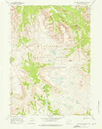
1968 Map of Squaretop Mountain
USGS Topo · Published 1976About this map
The Green River carves a deep path through this high-altitude landscape of the Wind River Range, where the distinctive flat summit of Squaretop Mountain rises above Beaver Park. This late-1960s survey documents a network of trails, including the Highline Trail, which provides the primary access through the Bridger Wilderness and the surrounding Bridger National Forest. The map captures the complex hydrology of the continental divide's western slope, where numerous alpine water bodies like the Lozier Lakes, Hidden Lakes, and No Name Lakes feed into the upper reaches of the New Fork River. High-elevation passes and summits such as Porcupine Pass, Glover Peak, and Doubletop Mountain define the topography, illustrating the transition from glacially-carved canyons like Palmer Canyon to the stark peaks that characterize this part of Wyoming.
Find a feature on this map
42 named features on this map. Tap any name to fly to it.
Don’t see what you’re looking for? This feature index may not catch every label — zoom into the map to look around manually.
Map Details
Editions of this 1968 Squaretop Mountain Map
3 editions found
Other maps of this area

1909 · Fremont Peak
USGS Topo · 1:125,000

1955 · Thermopolis
USGS Topo · 1:250,000

1958 · Thermopolis
USGS Topo · 1:250,000

1962 · Thermopolis
USGS Topo · 1:250,000
1967 · New Fork Lakes
USGS Topo · 1:24,000
1968 · Gannett Peak
USGS Topo · 1:24,000
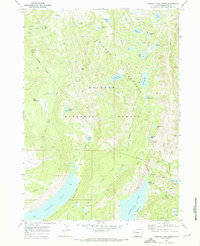
1968 · Fremont Lake North
USGS Topo · 1:24,000
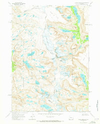
1968 · Downs Mountain
USGS Topo · 1:24,000
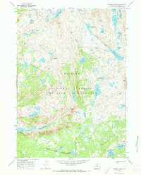
1968 · Bridger Lakes
USGS Topo · 1:24,000
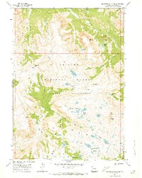
1968 · Squaretop Mountain
USGS Topo · 1:24,000