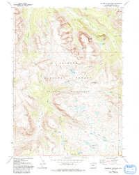
1968 Map of Squaretop Mountain
USGS Topo · Published 1993About this map
Squaretop Mountain and Granite Peak tower over a glaciated high-altitude landscape defined by the upper reaches of the Green River. This 1968 survey of the Bridger Wilderness within the Bridger National Forest reveals a dense network of alpine water bodies, including Marten Lake, Palmer Lake, and the clustered Hidden Lakes. The topography is marked by significant drainages such as Porcupine Creek and the New Fork River, which flow from high passes like Porcupine Pass.
Find a feature on this map
43 named features on this map. Tap any name to fly to it.
Don’t see what you’re looking for? This feature index may not catch every label — zoom into the map to look around manually.
Map Details
Editions of this 1968 Squaretop Mountain Map
3 editions found
Other maps of this area

1909 · Fremont Peak
USGS Topo · 1:125,000

1955 · Thermopolis
USGS Topo · 1:250,000

1958 · Thermopolis
USGS Topo · 1:250,000

1962 · Thermopolis
USGS Topo · 1:250,000
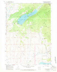
1967 · New Fork Lakes
USGS Topo · 1:24,000
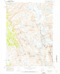
1968 · Gannett Peak
USGS Topo · 1:24,000
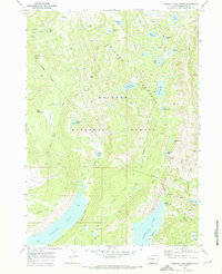
1968 · Fremont Lake North
USGS Topo · 1:24,000
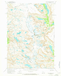
1968 · Downs Mountain
USGS Topo · 1:24,000
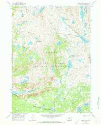
1968 · Bridger Lakes
USGS Topo · 1:24,000
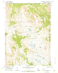
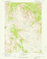
1968 · Squaretop Mountain
USGS Topo · 1:24,000