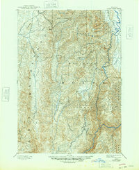
1894 Map of Squaw Creek
USGS Topo · Published 1948About this map
Smith Ferry and the North Fork Payette River dominate the eastern corridor of this mountain region, where early infrastructure began to define the remote Idaho landscape in the late nineteenth century. Surveyed by A.H. Thompson and W.T. Griswold in 1891, the map captures a period of early resource extraction and high-altitude ranching. Evidence of this early industry is seen at Walker Mill, situated along the drainage of Squaw Creek.
Find a feature on this map
32 named features on this map. Tap any name to fly to it.
Don’t see what you’re looking for? This feature index may not catch every label — zoom into the map to look around manually.
Map Details
Editions of this 1894 Squaw Creek Map
5 editions found
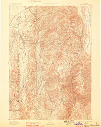
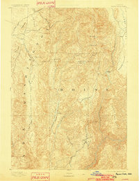
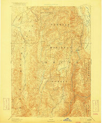
Other maps of this area

1892 · Boise
USGS Topo · 1:125,000

1894 · Squaw Creek
USGS Topo · 1:125,000

1894 · Idaho Basin
USGS Topo · 1:125,000

1897 · Boise
USGS Topo · 1:125,000

1897 · Weiser
USGS Topo · 1:125,000

1898 · Nampa
USGS Topo · 1:125,000

1909 · Garden Valley
USGS Topo · 1:125,000

1911 · Meadows
USGS Topo · 1:125,000

1953 · Smiths Ferry
USGS Topo · 1:62,500

1953 · Boiling Springs
USGS Topo · 1:62,500