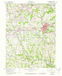
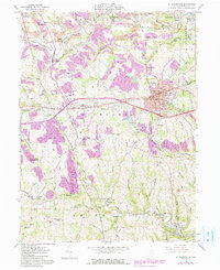
1960 Map of St. Clairsville
USGS Topo · Published 1973About this map
The Belmont County seat of St Clairsville serves as the focal point of this Eastern Ohio landscape, where the historic National Road and the Baltimore and Ohio railroad intersect. The map documents a community deeply rooted in regional service and industry, evidenced by the clustered institutions west of the city, including the County Sanatorium, County Home, and the County Experimental Farm. Mine dumps and various pits scattered throughout the Richland and Smith townships reveal the area's coal-mining heritage, while smaller settlements like Bannock, Warnock, and Glencoe punctuate the valleys of McMahon Creek and its tributaries. For genealogists, the map is particularly useful for locating smaller burial sites such as the Infirmary Cem and Friends Cem, along with landmarks like the Wesley Chapel and the Alderman Airport.
Find a feature on this map
58 named features on this map. Tap any name to fly to it.
Don’t see what you’re looking for? This feature index may not catch every label — zoom into the map to look around manually.
Map Details
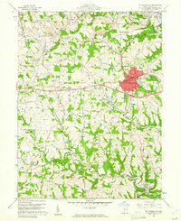
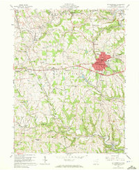
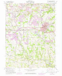
Editions of this 1960 St. Clairsville Map
5 editions found
Other maps of this area

1903 · Flushing
USGS Topo · 1:62,500

1905 · Clarington
USGS Topo · 1:62,500

1905 · St. Clairsville
USGS Topo · 1:62,500

1905 · Woodsfield
USGS Topo · 1:62,500

1905 · Flushing
USGS Topo · 1:62,500

1935 · Clarington
USGS Topo · 1:62,500

1940 · Clarington
USGS Topo · 1:62,500

1949 · Clarksburg
USGS Topo · 1:250,000

1951 · Canton
USGS Topo · 1:250,000

1953 · Canton
USGS Topo · 1:250,000