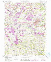
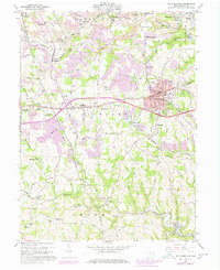
1960 Map of St. Clairsville
USGS Topo · Published 1985About this map
The county seat of St Clairsville serves as the central hub of this survey, where the historic National Road meets a growing network of modern interchanges. This intersection of eras is visible in the placement of the Courthouse and Union Cemetery alongside newer developments. To the west, the landscape transitions into agricultural and institutional uses, including the County Experimental Farm and the County Sanatorium.
Find a feature on this map
68 named features on this map. Tap any name to fly to it.
Don’t see what you’re looking for? This feature index may not catch every label — zoom into the map to look around manually.
Map Details
Editions of this 1960 St. Clairsville Map
5 editions found
Other maps of this area

1903 · Flushing
USGS Topo · 1:62,500

1905 · Clarington
USGS Topo · 1:62,500

1905 · St. Clairsville
USGS Topo · 1:62,500

1905 · Woodsfield
USGS Topo · 1:62,500

1905 · Flushing
USGS Topo · 1:62,500

1935 · Clarington
USGS Topo · 1:62,500

1940 · Clarington
USGS Topo · 1:62,500

1949 · Clarksburg
USGS Topo · 1:250,000

1951 · Canton
USGS Topo · 1:250,000

1953 · Canton
USGS Topo · 1:250,000