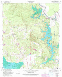
1967 Map of St. Landry
USGS Topo · Published 1993About this map
Chicot State Park dominates the eastern half of this survey, centering on the expansive Chicot Lake and its intricate shoreline. The landscape is defined by the complex water systems of the Atchafalaya basin periphery, where Mountain Bayou Lake and Dossman Lake feed into a network of bayous including Bayou Cocodrie and Bayou Chicot. These waterways historically dictated the patterns of settlement and transport in this part of Evangeline Parish.
Find a feature on this map
35 named features on this map. Tap any name to fly to it.
Don’t see what you’re looking for? This feature index may not catch every label — zoom into the map to look around manually.
Map Details
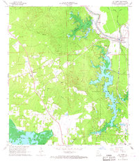
Editions of this 1967 St. Landry Map
2 editions found
Other maps of this area

1935 · Turkey Creek
USGS Topo · 1:62,500

1939 · Opelousas
USGS Topo · 1:62,500

1947 · Ville Platte
USGS Topo · 1:31,680

1948 · Bunkie
USGS Topo · 1:62,500

1949 · Turkey Creek
USGS Topo · 1:62,500

1952 · Lake Charles
USGS Topo · 1:250,000

1954 · Lake Charles
USGS Topo · 1:250,000

1956 · Opelousas
USGS Topo · 1:62,500

1957 · Opelousas
USGS Topo · 1:62,500
1960 · Ville Platte
USGS Topo · 1:62,500