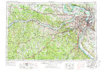
1963 Map of St. Louis
USGS Topo · Published 1974About this map
The Mississippi River and Missouri River converge at the heart of this mid-century landscape, framing the industrial and residential expansion of St. Louis and its surrounding communities. From the military grounds at Jefferson Barracks to the academic center of University City, the map documents a region defined by its diverse transport networks. Major arteries like U.S. 66 and Interstate 70 facilitate movement across the terrain, while the Missouri Pacific RR and St. Louis-San Francisco Ry trace established rail corridors through the river valleys.
Find a feature on this map
70 named features on this map. Tap any name to fly to it.
Don’t see what you’re looking for? This feature index may not catch every label — zoom into the map to look around manually.
Map Details
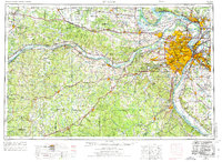
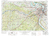
Editions of this 1963 St. Louis Map
4 editions found

Other maps of this area

1886 · Jefferson City
USGS Topo · 1:125,000

1888 · Tuscumbia
USGS Topo · 1:125,000

1888 · St. Louis
USGS Topo · 1:62,500

1890 · Louisiana
USGS Topo · 1:125,000

1890 · Mexico
USGS Topo · 1:125,000

1890 · Moberly
USGS Topo · 1:125,000

1890 · Hermann
USGS Topo · 1:125,000

1890 · Fulton
USGS Topo · 1:125,000

1894 · Tuscumbia
USGS Topo · 1:125,000

1894 · Jefferson City
USGS Topo · 1:125,000