
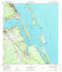
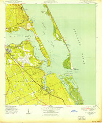
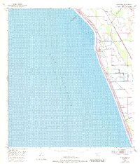
1948 Map of St. Lucie Inlet
USGS Topo · Published 1958This historical map portrays the area of St. Lucie Inlet in 1948, primarily covering Martin County. Featuring a scale of 1:24000, this map provides a highly detailed snapshot of the terrain, roads, buildings, counties, and historical landmarks in the St. Lucie Inlet region at the time. Published in 1958, it is one of 4 known editions of this map due to revisions or reprints.
Find a feature on this map
52 named features on this map. Tap any name to fly to it.
Don’t see what you’re looking for? This feature index may not catch every label — zoom into the map to look around manually.
Map Details
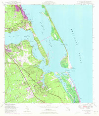
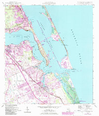
Editions of this 1948 St. Lucie Inlet Map
4 editions found
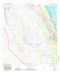
Historical Maps of Sailfish Point Through Time
9 maps found
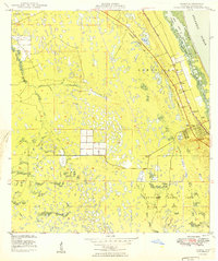
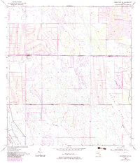
1948 Gomez
Martin County, FL
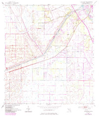
1948 St. Lucie Inlet
Martin County, FL
1949 Gomez
Martin County, FL
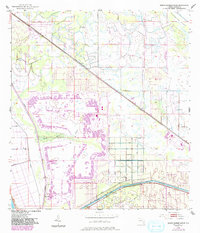
1950 St. Lucie Inlet
Martin County, FL
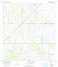
1953 Barley Barber Swamp
Martin County, FL
1953 Bluefield
Martin County, FL
1953 Chaney Bay
Martin County, FL
1953 Indiantown NW
Martin County, FL
1953 Indiantown SE
Martin County, FL