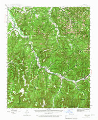
1943 Map of St. Paul
USGS Topo · Published 1966About this map
St Paul and the winding upper White River serve as the focal points for this mid-century portrait of the Ozark Mountains. The landscape is defined by its numerous small settlements and schools, reflecting a period when rural communities like Delaney, Combs, and Japton were centers of local life. The topography is exceptionally detailed, showing the steep drainages of Hickory Creek and Ball Creek as they cut through high points like Brannon Mountain and Cobb Mountain.
Find a feature on this map
133 named features on this map. Tap any name to fly to it.
Don’t see what you’re looking for? This feature index may not catch every label — zoom into the map to look around manually.
Map Details
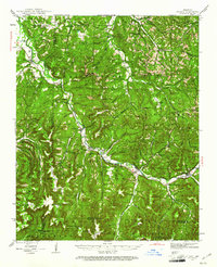
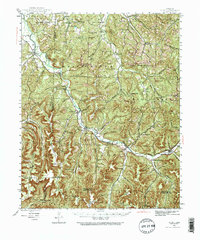
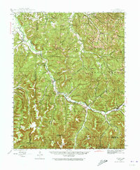
Editions of this 1943 St. Paul Map
5 editions found

Other maps of this area

1879 · Cravens
USGS Topo · 1:62,500

1887 · Watalula
USGS Topo · 1:62,500

1898 · Winslow #4
USGS Topo · 1:62,500

1898 · Winslow
USGS Topo · 1:125,000

1899 · Fayetteville
USGS Topo · 1:125,000

1900 · Eureka Springs
USGS Topo · 1:125,000

1901 · Winslow
USGS Topo · 1:125,000

1901 · Eureka Springs
USGS Topo · 1:125,000

1901 · Fayetteville
USGS Topo · 1:125,000

1904 · Fayetteville
USGS Topo · 1:125,000