
1899 Map of Stamford
USGS Topo · Published 1899About this map
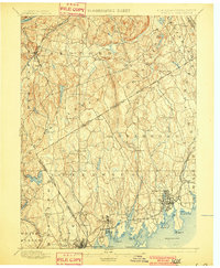
Stamford and Greenwich dominate the shoreline of the Long Island Sound at the turn of the century, serving as critical coastal hubs along the New York New Haven and Hartford Railroad. This landscape is defined by the complex New York Connecticut Boundary Line, which weaves through upland communities like Poundridge and North Castle. The inland areas are heavily dissected by waterways including the Mianus River and Byram River, which shaped the early settlement patterns of villages such as Banksville and Stanwich. To the northwest, the New York Central and Hudson River Railroad connects the growing towns of Bedford Station and Mt. Kisco to the metropolitan center, illustrating the dual influence of coastal and rail transport on the region's development during the late nineteenth century.
Find a feature on this map
83 named features on this map. Tap any name to fly to it.
Don’t see what you’re looking for? This feature index may not catch every label — zoom into the map to look around manually.
Map Details
Editions of this 1899 Stamford Map
13 editions found
1899 edition
16.6 x 20.2 inches
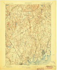
1901 edition
16.6 x 20.1 inches
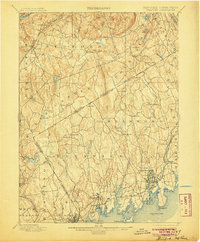
1904 edition
16.6 x 20.2 inches
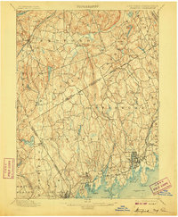
1905 edition
16.6 x 20.1 inches
1907 edition
16.6 x 20.1 inches
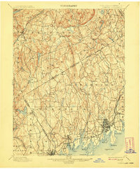
1908 edition
16.6 x 20.1 inches
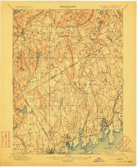
1911 edition
16.6 x 20.2 inches
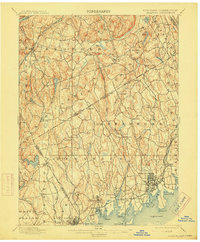
1915 edition
16.6 x 20.1 inches
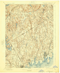
1925 edition
16.6 x 20.1 inches
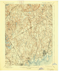
1928 edition
16.6 x 20.2 inches
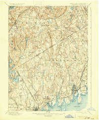
1931 edition
16.5 x 20 inches
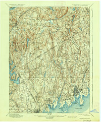
1937 edition
16.6 x 20.1 inches
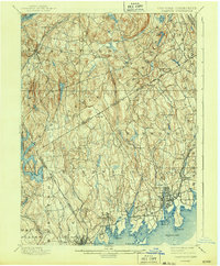
1943 edition
16.6 x 20.1 inches
Other maps of this area

1891 · Harlem
USGS Topo · 1:62,500

1892 · Stamford
USGS Topo · 1:62,500

1892 · West Point
USGS Topo · 1:62,500

1892 · Danbury
USGS Topo · 1:62,500

1892 · Norwalk
USGS Topo · 1:62,500

1892 · Carmel
USGS Topo · 1:62,500

1892 · Tarrytown
USGS Topo · 1:62,500

1893 · Carmel
USGS Topo · 1:62,500

1893 · Stamford
USGS Topo · 1:62,500

1893 · Norwalk
USGS Topo · 1:62,500