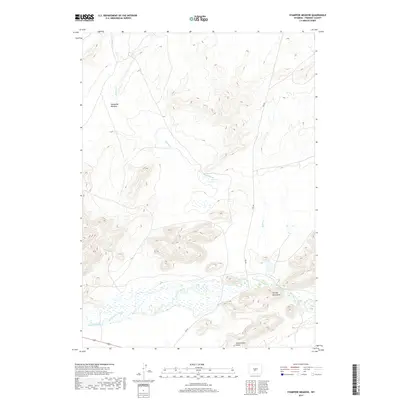
2017 Map of Stampede Meadow
USGS Topo · Published 2017About this map
Stampede Meadow characterizes this high-altitude landscape in Fremont County, where the hydrological patterns of the northern Red Desert meet the foothills of the Granite Mountains. The Sweetwater River meanders across the southern portion of the quadrangle, flanked by the Sweetwater Rocks and the artificial channel of Emigrant Ditch. This area serves as a critical drainage basin, collecting waters from Tin Cup Cr and Buffalo Cr into the specialized environment of the Buffalo Creek Stampede Bog. Human activity is primarily traced via the lone path of Ore Rd, a name that hints at the mineral transport history of the region. The map provides a detailed view of the terrain's transition from open meadows to significant rocky outcrops, documenting the relationship between water management and the natural flow of the Sweetwater through this remote Wyoming territory.
Find a feature on this map
15 named features on this map. Tap any name to fly to it.
Don’t see what you’re looking for? This feature index may not catch every label — zoom into the map to look around manually.
Map Details
Editions of this 2017 Stampede Meadow Map
This is the sole edition of this map. No revisions or reprints were ever made.
Other maps of this area

1951 · Crooks Creek NE
USGS Topo · 1:24,000

1951 · Stampede Meadow
USGS Topo · 1:24,000

1951 · Black Rock Gap
USGS Topo · 1:24,000

1951 · Graham Ranch
USGS Topo · 1:24,000

1951 · Split Rock NW
USGS Topo · 1:24,000

1951 · Crooks Mountain
USGS Topo · 1:24,000

1952 · Tin Cup Mountain
USGS Topo · 1:24,000

1952 · Muskrat Basin
USGS Topo · 1:24,000

1952 · Coyote Springs
USGS Topo · 1:24,000

1955 · Casper
USGS Topo · 1:250,000