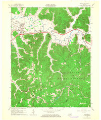
1966 Map of Stanton
USGS Topo · Published 1968About this map
The Red River valley serves as the central artery for this portion of eastern Kentucky, where the town of Stanton sits at a critical junction of river, rail, and road. By the mid-1960s, the modern Mountain Parkway had carved through the landscape, bypassing older settlements like Rosslyn and Bowen. Despite this modernization, the map preserves the deep industrial and religious roots of the region. To the south, the Estill Furnace Ruins and the surrounding Oil Field point to a history of resource extraction, while numerous country churches like Mt Canaan Ch and Rogers Chapel anchor the rural communities. The sharp contrast between the developed river plain near the Stanton Airport and the dense forests of the Daniel Boone National Forest is clearly defined, with Chestnut Ridge and High Rock Lookout Tower rising above the winding forks of Cane Creek.
Find a feature on this map
57 named features on this map. Tap any name to fly to it.
Don’t see what you’re looking for? This feature index may not catch every label — zoom into the map to look around manually.
Map Details
Editions of this 1966 Stanton Map
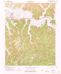
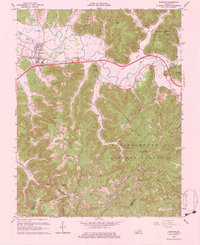
Other maps of this area

1892 · Beattyville
USGS Topo · 1:125,000

1950 · Levee
USGS Topo · 1:24,000

1952 · Clay City
USGS Topo · 1:24,000

1952 · Frenchburg
USGS Topo · 1:24,000

1952 · Stanton
USGS Topo · 1:24,000

1952 · Means
USGS Topo · 1:24,000

1952 · Levee
USGS Topo · 1:24,000

1952 · Slade
USGS Topo · 1:24,000

1952 · Cobhill
USGS Topo · 1:24,000

1952 · Irvine
USGS Topo · 1:24,000