
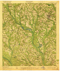
1920 Map of Statesboro
USGS Topo · Published 1920About this map
Statesboro serves as the focal point for this Southeast Georgia landscape, where a dense network of early 20th-century railways converges. The Central of Georgia Railway, Midland Railway, and Savannah and Statesboro Railway intersect in the town center, illustrating its role as a regional transit hub. The surrounding countryside in Bulloch and Candler counties is defined by a high density of rural educational institutions, including specialized sites like the Smith Allen Deaf School and various community centers such as Alderman High School and Byrd School.
Find a feature on this map
65 named features on this map. Tap any name to fly to it.
Don’t see what you’re looking for? This feature index may not catch every label — zoom into the map to look around manually.
Map Details
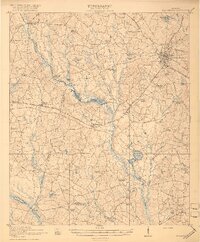
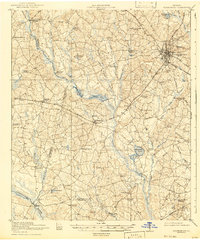
Editions of this 1920 Statesboro Map
4 editions found
Other maps of this area

1918 · Oliver
USGS Topo · 1:62,500

1919 · Claxton
USGS Topo · 1:62,500

1920 · Pembroke
USGS Topo · 1:62,500

1920 · Oliver
USGS Topo · 1:62,500

1921 · Brooklet
USGS Topo · 1:62,500

1921 · Rocky Ford
USGS Topo · 1:62,500

1943 · Brooklet
USGS Topo · 1:62,500

1943 · Rocky Ford
USGS Topo · 1:62,500

1943 · Millen
USGS Topo · 1:125,000

1943 · Statesboro
USGS Topo · 1:62,500