1985 Map of Stephenville
USGS Topo · Published 1985About this map
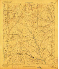
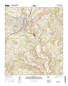
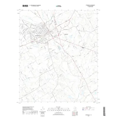
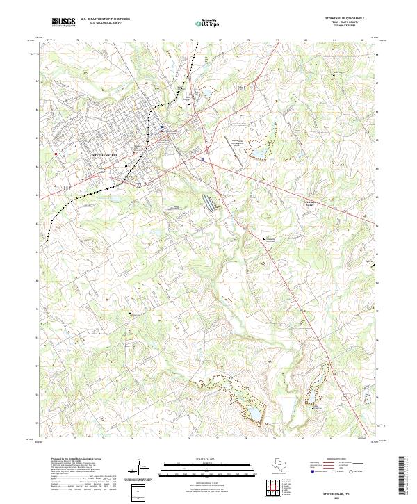
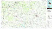
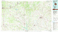
Stephenville and its surrounding ranchlands are depicted here during a period of transition in North Central Texas. The landscape is defined by the headwaters of the Leon River and the Bosque River, with the reservoir at Proctor Lake serving as a significant water feature in the south. The regional infrastructure is heavily anchored by historical transportation corridors, including the Missouri Pacific and the Atchison Topeka and Santa Fe railroads, which linked established centers like Eastland, Cisco, and Dublin. Smaller settlements such as Desdemona, once a significant oil boom location, and Lingleville appear alongside rural landmarks like the Blue Hills and Cedar Mountain. This 1980s-era revision illustrates the network of ranch roads and secondary highways connecting isolated communities like Punkin Center and Cottonwood, reflecting the persistent agricultural and transit-oriented character of Erath and Eastland counties.
Find a feature on this map
97 named features on this map. Tap any name to fly to it.
Don’t see what you’re looking for? This feature index may not catch every label — zoom into the map to look around manually.
Map Details
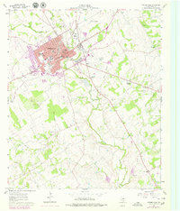
Editions of this 1985 Stephenville Map
2 editions found
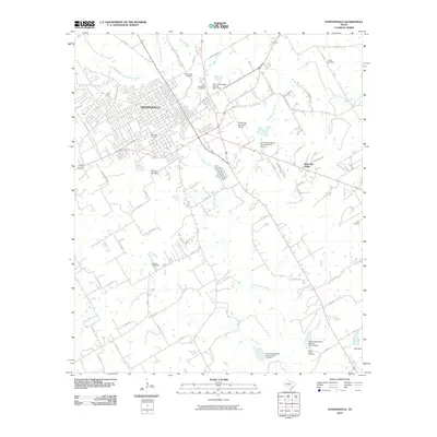
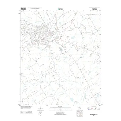
Historical Maps of Stephenville Through Time
9 maps found