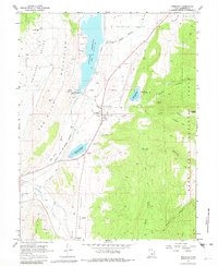
1966 Map of Sterling
USGS Topo · Published 1982About this map
Sanpete Valley water management is a defining characteristic of this landscape, where the San Pitch River flows through a series of engineered irrigation systems. The Highland Canal, Larson Ditch, and New Field Canal crisscross the valley floor near Sterling, supporting agriculture between the San Pitch Mountains and the Manti-La Sal National Forest. To the north, the Gunnison Reservoir dominates the terrain, while the Ninemile Reservoir sits further south along the Arapien Valley floor.
Find a feature on this map
46 named features on this map. Tap any name to fly to it.
Don’t see what you’re looking for? This feature index may not catch every label — zoom into the map to look around manually.
Map Details
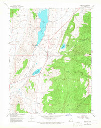
Editions of this 1966 Sterling Map
2 editions found
Other maps of this area

1885 · Manti
USGS Topo · 1:250,000

1895 · Manti
USGS Topo · 1:250,000

1956 · Price
USGS Topo · 1:250,000

1960 · Price
USGS Topo · 1:250,000

1962 · Price
USGS Topo · 1:250,000
1965 · Woods Lake
USGS Topo · 1:24,000

1965 · Hells Kitchen Canyon SE
USGS Topo · 1:24,000
1965 · Mayfield
USGS Topo · 1:24,000

1965 · Manti
USGS Topo · 1:24,000

1965 · Black Mountain
USGS Topo · 1:24,000