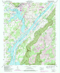
1947 Map of Stevenson
USGS Topo · Published 1984About this map
Stevenson serves as the focal point of this Tennessee River landscape, where the confluence of the Southern Railway and the Seaboard Coast Line established a critical regional transportation hub. The terrain is defined by the expansive Guntersville Lake and the Tennessee River, which are flanked by the steep rising slopes of Sand Mountain and the deep incision of Coon Gulf. This mid-century survey reveals a rural society organized around small family settlements and spiritual centers such as Old Fabius and Avery.
Find a feature on this map
69 named features on this map. Tap any name to fly to it.
Don’t see what you’re looking for? This feature index may not catch every label — zoom into the map to look around manually.
Map Details
Editions of this 1947 Stevenson Map
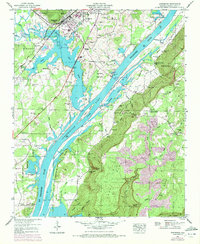
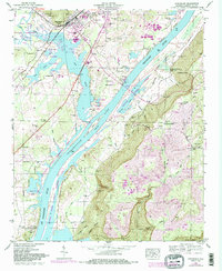
3 editions found
Other maps of this area

1886 · Stevenson
USGS Topo · 1:125,000

1892 · Stevenson
USGS Topo · 1:125,000

1895 · Stevenson
USGS Topo · 1:125,000

1936 · Ider
USGS Topo · 1:24,000

1936 · Bridgeport
USGS Topo · 1:24,000

1936 · Wannville
USGS Topo · 1:24,000

1936 · Flat Rock
USGS Topo · 1:24,000

1936 · Hollywood
USGS Topo · 1:24,000

1936 · Stevenson
USGS Topo · 1:24,000
1936 · Henagar
USGS Topo · 1:24,000