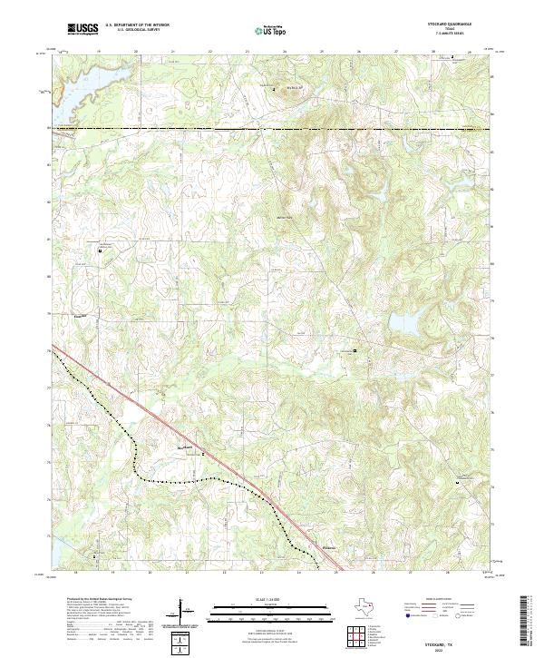
2022 Map of Stockard
USGS Topo · Published 2022About this map
The borderlands of Henderson and Van Zandt counties are defined by a network of creeks and small family-named landmarks. The small community of Stockard serves as a central point along the highway, supported by nearby Pickens and the larger settlement of Eustace to the west. This area is particularly dense with small burial grounds, including the Moorehead-Melton Cem and Sand Flat-Community Cem, which provide significant anchor points for local genealogical research.
Find a feature on this map
60 named features on this map. Tap any name to fly to it.
Don’t see what you’re looking for? This feature index may not catch every label — zoom into the map to look around manually.
Map Details
Editions of this 2022 Stockard Map
This is the sole edition of this map. No revisions or reprints were ever made.
Other maps of this area

1920 · Kemp
USGS Topo · 1:62,500

1948 · Martins Mill
USGS Topo · 1:62,500

1949 · Martins Mill
USGS Topo · 1:62,500

1949 · Athens
USGS Topo · 1:62,500

1950 · Athens
USGS Topo · 1:62,500

1954 · Dallas
USGS Topo · 1:250,000

1956 · Tyler
USGS Topo · 1:250,000

1957 · Kemp
USGS Topo · 1:62,500

1958 · Dallas
USGS Topo · 1:250,000

1960 · Mabank
USGS Topo · 1:24,000