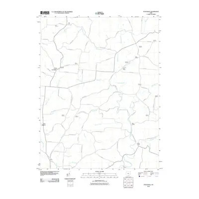
2010 Map of Stockdale
USGS Topo · Published 2010About this map
Stockdale sits at the junction of California Pike and Stockdale Rd, serving as the primary hub for this rural Scioto County landscape. The topography is defined by the winding course of the Little Scioto River and its numerous tributaries, including Buckhorn Creek, Glade Run, and McDowell Creek. These waterways have carved deep hollows and valleys into the terrain, such as Irish Hollow, Mill Hollow, and Dever Valley.
Find a feature on this map
84 named features on this map. Tap any name to fly to it.
Don’t see what you’re looking for? This feature index may not catch every label — zoom into the map to look around manually.
Map Details
Editions of this 2010 Stockdale Map
This is the sole edition of this map. No revisions or reprints were ever made.
Other maps of this area

1906 · Waverly
USGS Topo · 1:62,500

1908 · Waverly
USGS Topo · 1:62,500

1911 · Sciotoville
USGS Topo · 1:62,500

1912 · Oak Hill
USGS Topo · 1:62,500

1913 · Sciotoville
USGS Topo · 1:62,500

1913 · Jackson
USGS Topo · 1:62,500

1944 · Jackson
USGS Topo · 1:62,500

1947 · Columbus
USGS Topo · 1:250,000

1957 · Huntington
USGS Topo · 1:250,000

1960 · Huntington
USGS Topo · 1:250,000