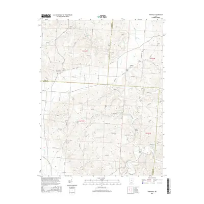
2016 Map of Stockdale
USGS Topo · Published 2016About this map
Stockdale serves as the primary settlement on this landscape, situated near the intersection of Stockdale Rd and Co Rd 72. The area is defined by a dense network of drainages and small valleys, with the Little Scioto River and its many tributaries, such as McDowell Cr, Glade Run, and Buckhorn Cr, carving through the terrain. This drainage pattern has historically influenced the placement of rural cemeteries and family-named landmarks like Irish Hollow and Dever Valley.
Find a feature on this map
98 named features on this map. Tap any name to fly to it.
Don’t see what you’re looking for? This feature index may not catch every label — zoom into the map to look around manually.
Map Details
Editions of this 2016 Stockdale Map
This is the sole edition of this map. No revisions or reprints were ever made.
Other maps of this area

1906 · Waverly
USGS Topo · 1:62,500

1908 · Waverly
USGS Topo · 1:62,500

1911 · Sciotoville
USGS Topo · 1:62,500

1912 · Oak Hill
USGS Topo · 1:62,500

1913 · Sciotoville
USGS Topo · 1:62,500

1913 · Jackson
USGS Topo · 1:62,500

1944 · Jackson
USGS Topo · 1:62,500

1947 · Columbus
USGS Topo · 1:250,000

1957 · Huntington
USGS Topo · 1:250,000

1960 · Huntington
USGS Topo · 1:250,000