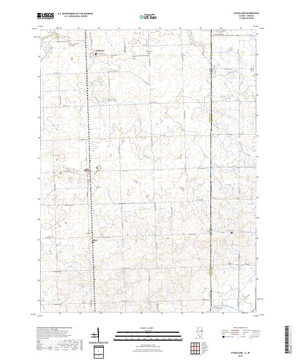
2024 Map of Stockland
USGS Topo · Published 2024About this map
Stockland and the surrounding agricultural landscape of Iroquois County define this Illinois-Indiana border region. The area is characterized by a precise grid of county roads, such as Co RD 600 N and Co RD 2800 E, which connect small settlements like Hallock and Greer. This geometric regularity is only broken by the wandering path of the North Fork Vermilion River in the southern reaches and drainage features like Finigan Ditch and Mud Creek to the north.
Find a feature on this map
58 named features on this map. Tap any name to fly to it.
Don’t see what you’re looking for? This feature index may not catch every label — zoom into the map to look around manually.
Map Details
Editions of this 2024 Stockland Map
This is the sole edition of this map. No revisions or reprints were ever made.
Other maps of this area

1933 · Hoopeston
USGS Topo · 1:48,000

1938 · Milford
USGS Topo · 1:48,000

1938 · Hoopeston
USGS Topo · 1:62,500

1944 · Milford
USGS Topo · 1:62,500

1953 · Danville
USGS Topo · 1:250,000

1955 · Danville
USGS Topo · 1:250,000

1956 · Danville
USGS Topo · 1:250,000

1961 · Tab
USGS Topo · 1:24,000

1962 · Boswell
USGS Topo · 1:24,000

1962 · Earl Park
USGS Topo · 1:24,000