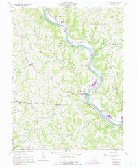
1961 Map of Stockport
USGS Topo · Published 1991About this map
The Muskingum River dictates the landscape of this 1961 Morgan County survey, winding through a series of dramatic bends that shaped the early development of Stockport and Hooksburg. The Baltimore and Ohio railroad tracks trace the river's western bank, serving as the primary corridor for commerce and transport. The map highlights several early land divisions, including the Donation Tract and the Congress Lands North of the Ohio Company Purchase, providing a clear look at the original surveying patterns of the region.
Find a feature on this map
55 named features on this map. Tap any name to fly to it.
Don’t see what you’re looking for? This feature index may not catch every label — zoom into the map to look around manually.
Map Details
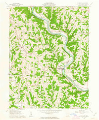
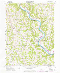
Editions of this 1961 Stockport Map
3 editions found
Other maps of this area

1902 · Parkersburg
USGS Topo · 1:62,500

1904 · Parkersburg
USGS Topo · 1:62,500

1904 · Chesterhill
USGS Topo · 1:62,500

1906 · Chesterhill
USGS Topo · 1:62,500

1909 · Caldwell
USGS Topo · 1:62,500

1910 · Mc Connelsville
USGS Topo · 1:62,500

1912 · Caldwell
USGS Topo · 1:62,500

1949 · Clarksburg
USGS Topo · 1:250,000

1956 · Clarksburg
USGS Topo · 1:250,000

1960 · Watertown
USGS Topo · 1:24,000