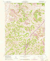
1961 Map of Stone Creek
USGS Topo · Published 1972About this map
Stone Creek and the surrounding townships of Tuscarawas County are defined by a complex landscape of narrow valleys and industrial activity during this early 1970s revision. The Penn Central railroad serves as the primary corridor through the hills, connecting smaller settlements like Yorktown and Blackband to the wider region. The terrain is notably marked by extensive Strip Mine operations and numerous oil and gas wells, reflecting the area's heavy reliance on natural resource extraction.
Find a feature on this map
31 named features on this map. Tap any name to fly to it.
Don’t see what you’re looking for? This feature index may not catch every label — zoom into the map to look around manually.
Map Details
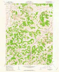
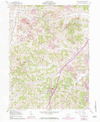
Editions of this 1961 Stone Creek Map
3 editions found
Other maps of this area

1909 · Uhrichsville
USGS Topo · 1:62,500

1911 · Uhrichsville
USGS Topo · 1:62,500

1911 · Newcomerstown
USGS Topo · 1:62,500

1912 · Dover
USGS Topo · 1:62,500

1913 · Newcomerstown
USGS Topo · 1:62,500

1914 · Navarre
USGS Topo · 1:62,500

1943 · Newcomerstown
USGS Topo · 1:62,500

1944 · Navarre
USGS Topo · 1:62,500

1944 · Dover
USGS Topo · 1:62,500

1951 · Canton
USGS Topo · 1:250,000