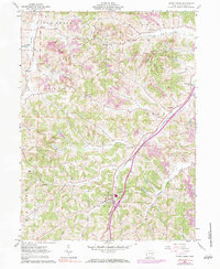
1961 Map of Stone Creek
USGS Topo · Published 1984About this map
Stone Creek and the surrounding townships of Jefferson and York define this corner of Tuscarawas County during the early 1960s. The landscape is heavily marked by the region's extractive industrial history, with numerous Strip Mine and Strip Mines operations cutting across the ridges between the drainage of Sugar Creek and the namesake Stone Creek valley. Transport and infrastructure are central to the area's development, evidenced by the Penn Central railroad line and a prominent Pipeline that traverses the hilly terrain. Small rural clusters and parish centers like Yorktown, Blackband, and Joyce provide a glimpse into the mid-century settlement pattern. Genealogists will find significant value in the documentation of several local burial sites and parish landmarks, including Deitz Cem, Salem Ch Cem, and St Johns Ch Cem, which anchor the rural communities of the Auburn and Sugar Creek borderlands.
Find a feature on this map
29 named features on this map. Tap any name to fly to it.
Don’t see what you’re looking for? This feature index may not catch every label — zoom into the map to look around manually.
Map Details
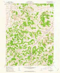
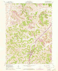
Editions of this 1961 Stone Creek Map
3 editions found
Other maps of this area

1909 · Uhrichsville
USGS Topo · 1:62,500

1911 · Uhrichsville
USGS Topo · 1:62,500

1911 · Newcomerstown
USGS Topo · 1:62,500

1912 · Dover
USGS Topo · 1:62,500

1913 · Newcomerstown
USGS Topo · 1:62,500

1914 · Navarre
USGS Topo · 1:62,500

1943 · Newcomerstown
USGS Topo · 1:62,500

1944 · Navarre
USGS Topo · 1:62,500

1944 · Dover
USGS Topo · 1:62,500

1951 · Canton
USGS Topo · 1:250,000