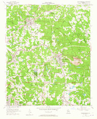
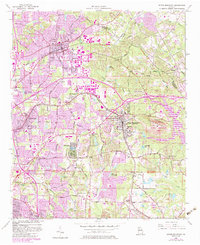
1956 Map of Stone Mountain
USGS Topo · Published 1965About this map
Stone Mountain dominates this mid-century landscape, appearing as a massive monolith surrounded by the expanding suburbs of Tucker, Clarkston, and Pine Lake. The map captures a moment in the mid-1950s when the region was transitioning from rural communities to organized residential districts, yet still maintained dozens of small country institutions. Local genealogy is well-represented through numerous landmark churches and schools such as Rehoboth Ch, Mt Pleasant Sch, and the Mountain View Ch.
Find a feature on this map
54 named features on this map. Tap any name to fly to it.
Don’t see what you’re looking for? This feature index may not catch every label — zoom into the map to look around manually.
Map Details
Editions of this 1956 Stone Mountain Map
6 editions found
Other maps of this area

1888 · Atlanta
USGS Topo · 1:125,000

1890 · Atlanta
USGS Topo · 1:125,000

1892 · Atlanta
USGS Topo · 1:125,000

1895 · Atlanta
USGS Topo · 1:125,000

1953 · Atlanta
USGS Topo · 1:250,000

1954 · Conley
USGS Topo · 1:24,000

1954 · Chamblee
USGS Topo · 1:24,000

1954 · Decatur
USGS Topo · 1:24,000

1956 · Stone Mountain
USGS Topo · 1:24,000

1956 · Snellville
USGS Topo · 1:24,000