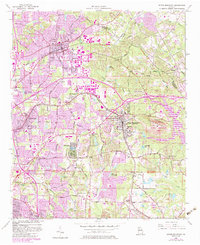
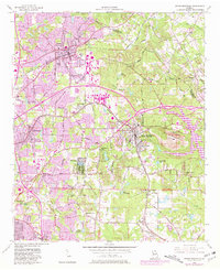
1956 Map of Stone Mountain
USGS Topo · Published 1983About this map
Stone Mountain dominates this mid-century landscape, a massive granite outcrop featuring unique petroglyphs and an air beacon on its summit. The surrounding DeKalb County area reflects the transition from rural crossroads to suburban development, with established residential communities like Tucker, Pine Lake, and Redan connected by the Seaboard Coast Line railroad. Numerous small lakes and reservoirs, including Venable Lake and Lake Arrowhead, dot the terrain near Stone Mountain Park.
Find a feature on this map
65 named features on this map. Tap any name to fly to it.
Don’t see what you’re looking for? This feature index may not catch every label — zoom into the map to look around manually.
Map Details
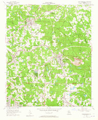
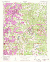
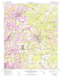
Editions of this 1956 Stone Mountain Map
6 editions found
Other maps of this area

1888 · Atlanta
USGS Topo · 1:125,000

1890 · Atlanta
USGS Topo · 1:125,000

1892 · Atlanta
USGS Topo · 1:125,000

1895 · Atlanta
USGS Topo · 1:125,000

1953 · Atlanta
USGS Topo · 1:250,000

1954 · Conley
USGS Topo · 1:24,000

1954 · Chamblee
USGS Topo · 1:24,000

1954 · Decatur
USGS Topo · 1:24,000

1956 · Stone Mountain
USGS Topo · 1:24,000

1956 · Snellville
USGS Topo · 1:24,000