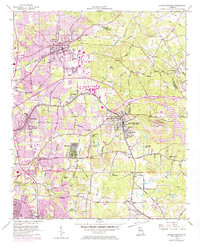
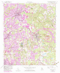
1956 Map of Stone Mountain
USGS Topo · Published 1974About this map
The prominent quartz monzonite dome of Stone Mountain serves as the central landmark for this DeKalb County region during a period of rapid suburban expansion. To the west and north, settlements like Tucker, Clarkston, and the small municipality of Pine Lake show significant development, with purple-tinted overprints indicating urban growth identified in the late 1960s and early 1970s. This growth is anchored by a network of established corridors, including the Seaboard Coast Line and the Georgia Railroad, which cut across the landscape toward Atlanta.
Find a feature on this map
73 named features on this map. Tap any name to fly to it.
Don’t see what you’re looking for? This feature index may not catch every label — zoom into the map to look around manually.
Map Details
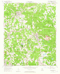
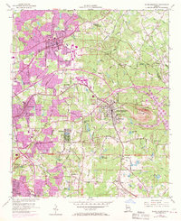
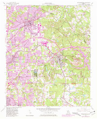
Editions of this 1956 Stone Mountain Map
6 editions found
Other maps of this area

1888 · Atlanta
USGS Topo · 1:125,000

1890 · Atlanta
USGS Topo · 1:125,000

1892 · Atlanta
USGS Topo · 1:125,000

1895 · Atlanta
USGS Topo · 1:125,000

1953 · Atlanta
USGS Topo · 1:250,000

1954 · Conley
USGS Topo · 1:24,000

1954 · Chamblee
USGS Topo · 1:24,000

1954 · Decatur
USGS Topo · 1:24,000

1956 · Stone Mountain
USGS Topo · 1:24,000

1956 · Snellville
USGS Topo · 1:24,000