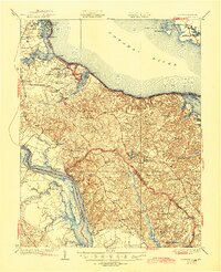
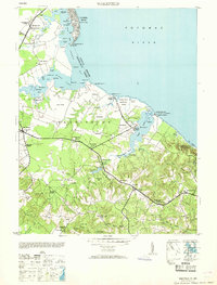
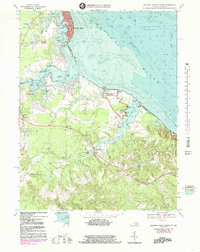
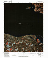
1981 Map of Stratford Hall
USGS Topo · Published 1985This historical map portrays the area of Stratford Hall in 1981, primarily covering Westmoreland County as well as portions of Maryland. Featuring a scale of 1:24000, this map provides a highly detailed snapshot of the terrain, roads, buildings, counties, and historical landmarks in the Stratford Hall region at the time. Published in 1985, it is one of 2 known editions of this map due to revisions or reprints.
Find a feature on this map
8 named features on this map. Tap any name to fly to it.
Don’t see what you’re looking for? This feature index may not catch every label — zoom into the map to look around manually.
Map Details
Editions of this 1981 Stratford Hall Map
2 editions found
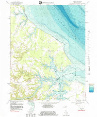
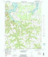
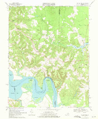
Historical Maps of Stratford Mill Through Time
15 maps found

1930 Wakefield
Westmoreland County, VA
1932 Wakefield
Westmoreland County, VA

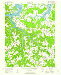
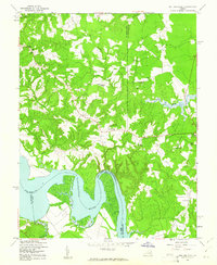
1942 Rollins Fork
Westmoreland County, VA
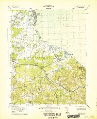
1943 Machodoc
Westmoreland County, VA
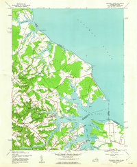
1943 Wakefield
Westmoreland County, VA
1943 Yeocomico River
Westmoreland County, VA
1949 Rollins Fork
Westmoreland County, VA
1953 Wakefield
Westmoreland County, VA
1968 Colonial Beach North
Westmoreland County, VA
1968 Colonial Beach South
Westmoreland County, VA
1968 Kinsale
Westmoreland County, VA
1968 Machodoc
Westmoreland County, VA
1968 Rollins Fork
Westmoreland County, VA

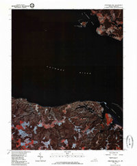
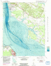
1968 Stratford Hall
Westmoreland County, VA
1981 Stratford Hall
Westmoreland County, VA